Martinique Bay (EfAx-21, EfAx-22 and EfAx-23)
Three sites are recorded in Martinique Bay:
- The Bottom (EfAx-21)
- Sleepy Cove (EfAx-22)
- Martinique Bay (EfAx-23)
The Bottom (EfAx-21)
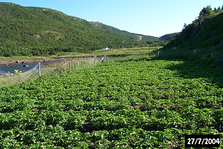 A potato garden now occupies a portion of The Bottom.
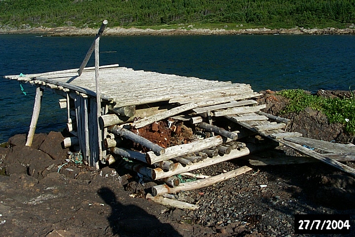 An abandoned stage in Martinique Bay.
Sleepy Cove (EfAx-22)
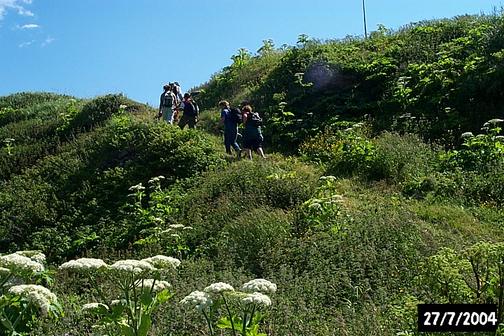 The path to Sleepy Cove.
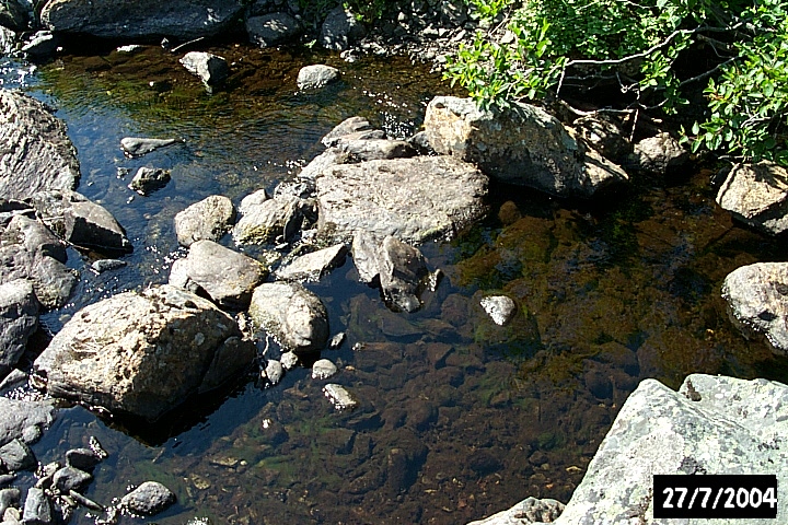 Rock dam feature in the stream at Sleepy Cove.
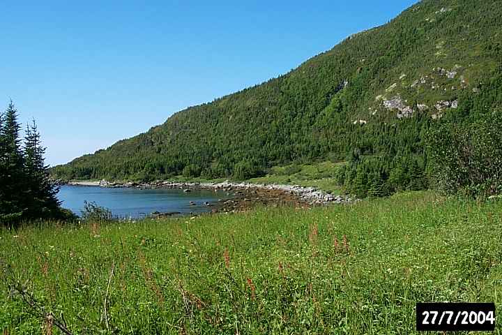 Sleepy Cove.
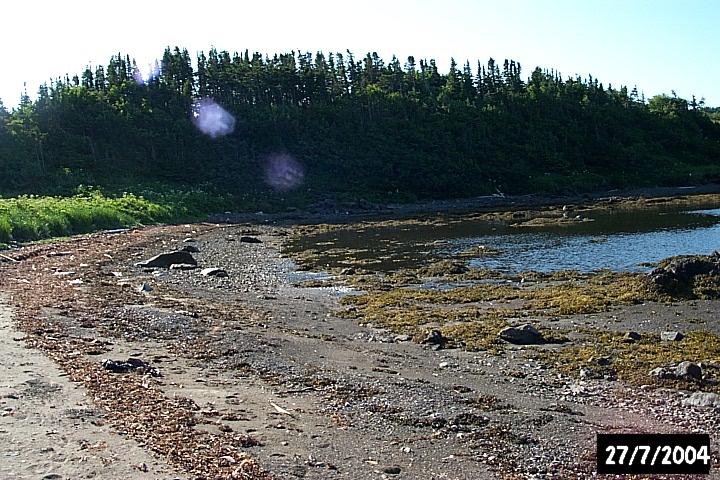
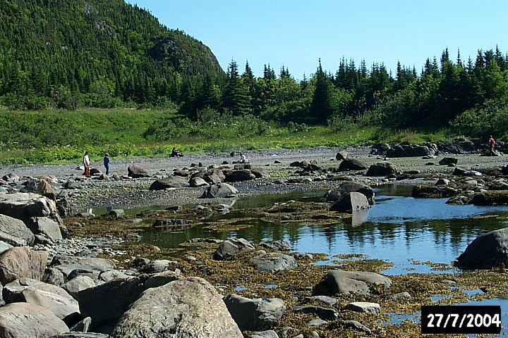 The shallow shore at Sleepy Cove.
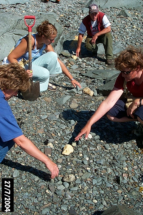 Crew members reach for ballast flint on Sleepy Cove beach. The caramel-coloured flint is a survival from ballast
used in European ships and then later dumped to make room for fish. The extensive deposits here may mark the
wreck of the Marguerite or the Murinet, both vessels from St Malo, sunk here by the British Royal Navy in 1707
Martinique Bay (EfAx-23)
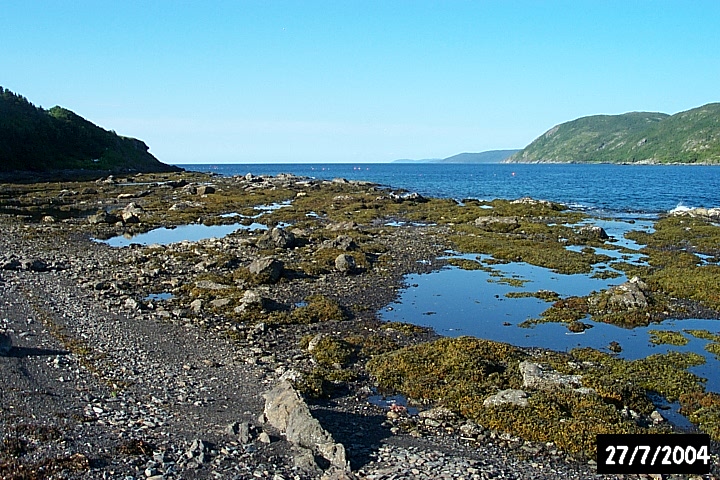 The rocky shallows at The Bottom of Martinique Bay.
 The shallow beach at The Bottom of Martinique Bay.
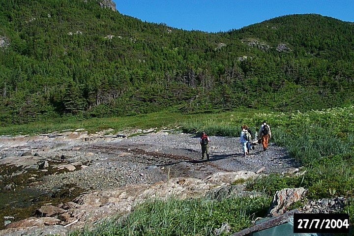 An open galet at Martinique West - a useful natural feature but not easy to access by boat.
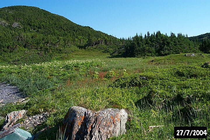 The beach at Martinique West beach, with the meadow behind it.