Dos de Cheval (Champ Paya) (EfAx-09)
the site's two beaches, the stage area was located in the western part of the room. View to north.
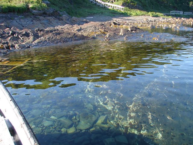
(R) The water on the east side of the Dos de Cheval archaeological site is shallow and rocky, which makes landing
boats difficult here.
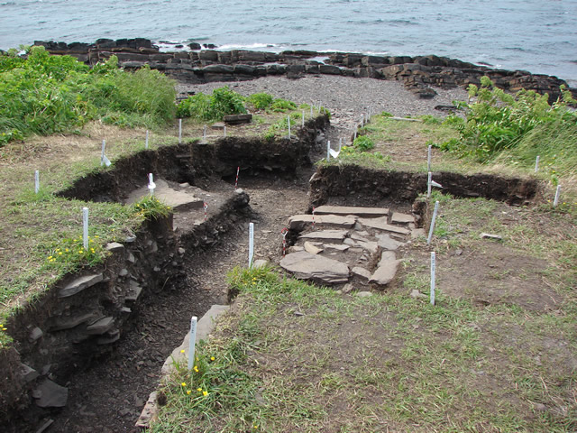
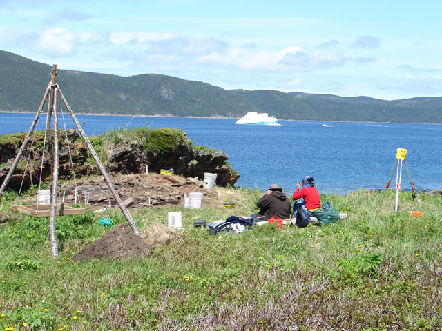
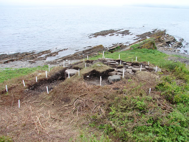
(R) Test units in the anthropogenic (man-made) terrace on the waterfront, Area C.
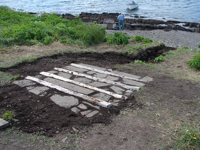
(R) The boat ramp reconstructed with the original rocks and new logs, to recreate its original appearance, for
site interpretation.
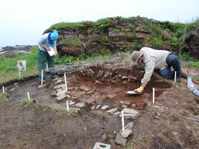
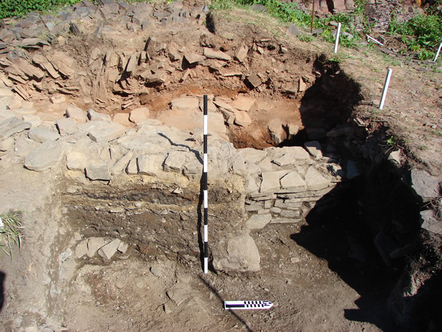
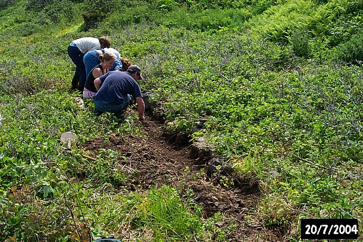
(R) This 12m long trench, excavated down to the natural beach, revealed the deep deposit created by the
Breton crews by their continual seasonal activities at the Champ Paya fishing room, over four centuries.
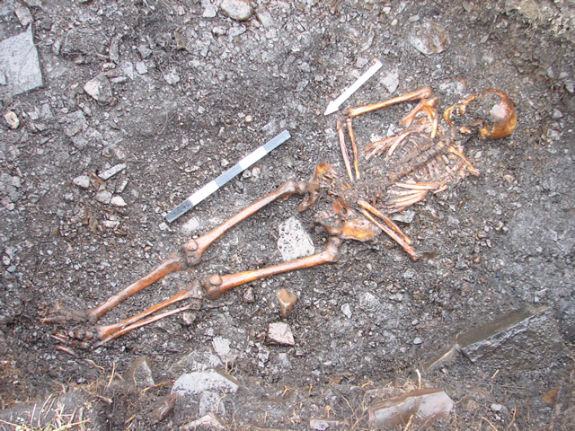
circa 1680-1700.
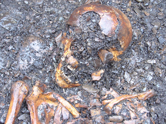
(R) Cranial detail of the beach burial. Note the large round hole in the cranium. If this was a Breton fishermen
did he die from a musket shot? A blow to the head? Or a fall from the stage?
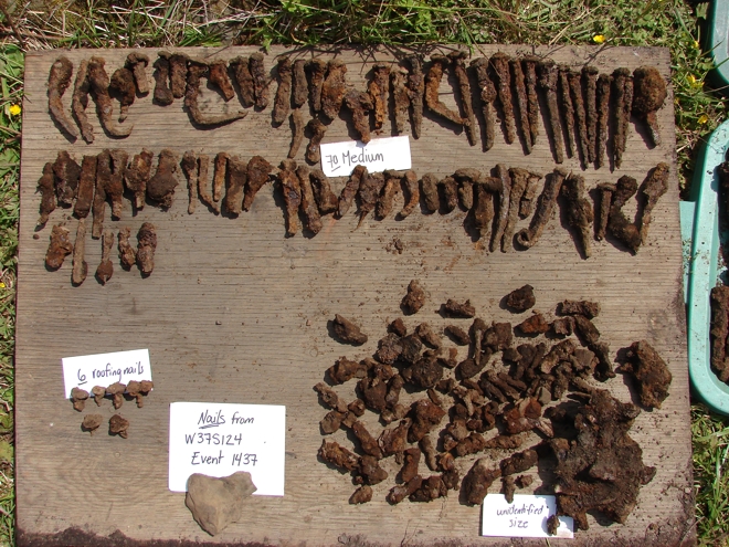
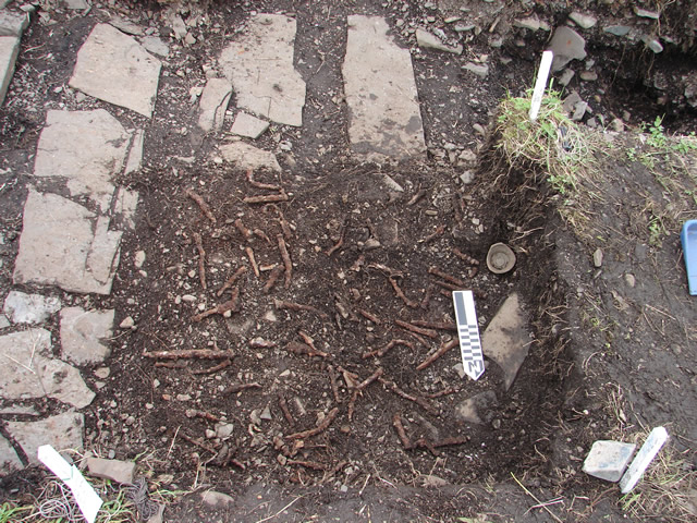
(R) The wrought iron nails from just one stratum in just one 1x1 m square.
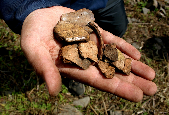
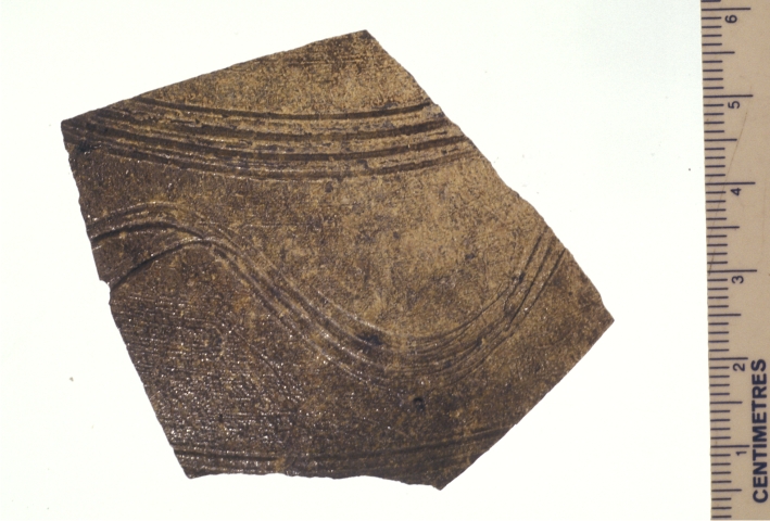
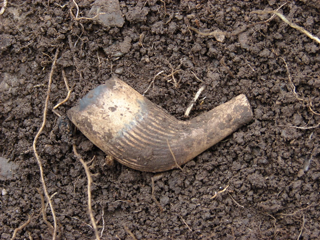
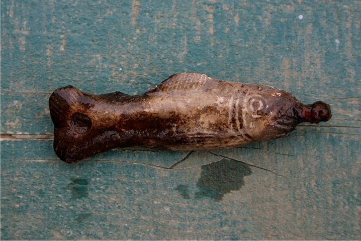
(R) Incised sherd of a Normandy coarse stoneware jug or jar, from Bessin-Cotentin, 18th or 19th century.
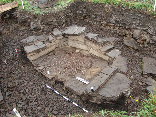
(R) The bread oven was located beside a rock face, as protection from the wind.
(R) The rock wall of the bread oven.
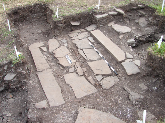
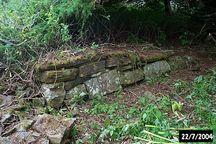
(R) The ramp leading from the waterfront Area C to the higher terrace, showing the rock construction.
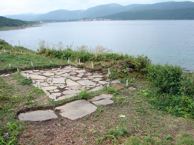
rock-paved floor.
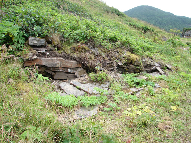
(R) A rocky wall uncovered on the higher terrace, in Area D. It looks like the foundation of a cabin - but the lack
of artifacts suggests that it may simply be the edge of a constructed galet.
(R) Excavating a rocky wall marking the edge of a pathway.
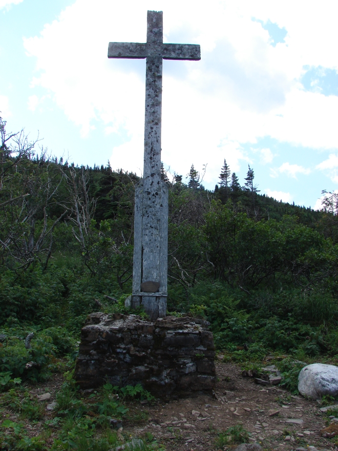
Champ Paya - much closer to the water than the later cross rebuilt by the French Navy.
(R) Where the early cross stood on the Breton fishing room of Champ Paya.
fishermen.
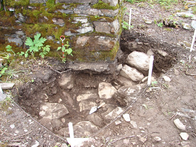
(R) Exavation of the base of the cross erected by The French Navy in 1934 revealed the foundations of an earlier
cross erected by Breton fishermen.
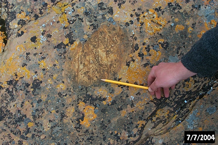
(R) Graffiti left by fishing crews.
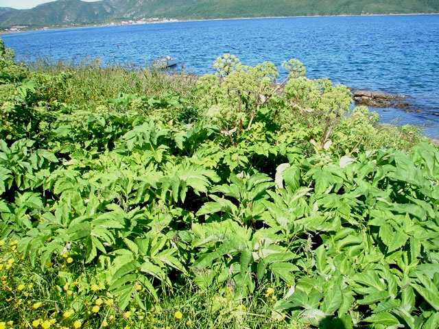
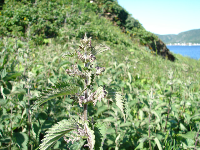
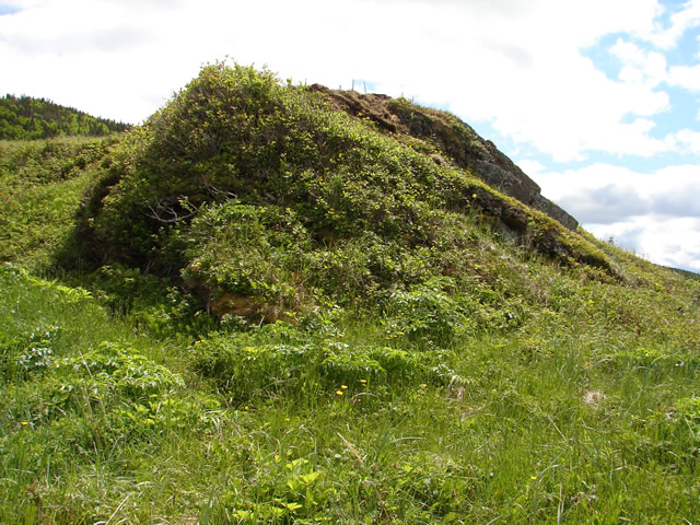
(R) Nettles: the classic vegetation shadow of human disturbance.
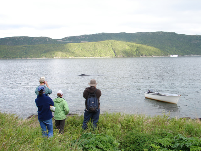
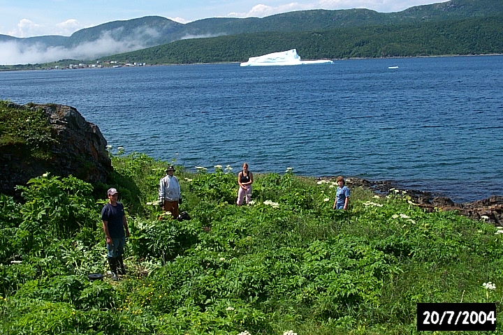
(R) A Minke whale visits the site.