Boutitou (EeBa-07)
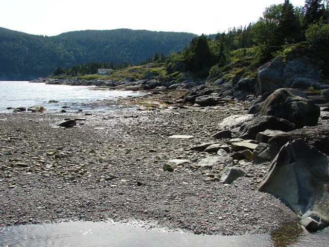
 Beach at Boutitou with a stream.
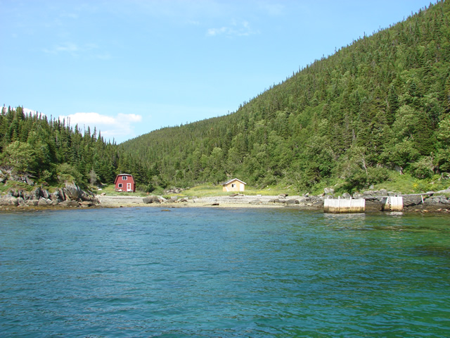
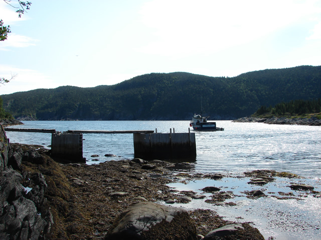 Boutitou Harbour, from the beach.
 Difficult terrain along the shoreline at Boutitou
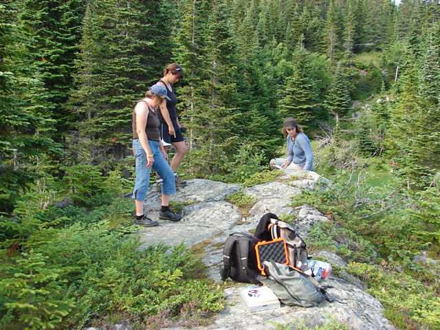
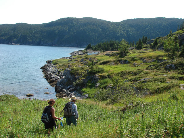 Surveying the main area used by French crews.
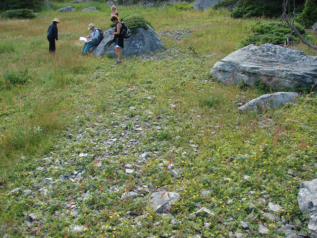 Stone galet used to dry the processed fish.
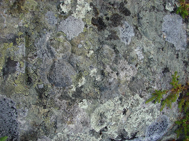
 Rita Barrett, Mélissa Burns and Janine Williams record rock inscriptions on a rocky outcrop at Boutitou.
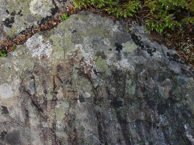
 Rock inscription: '1888'.
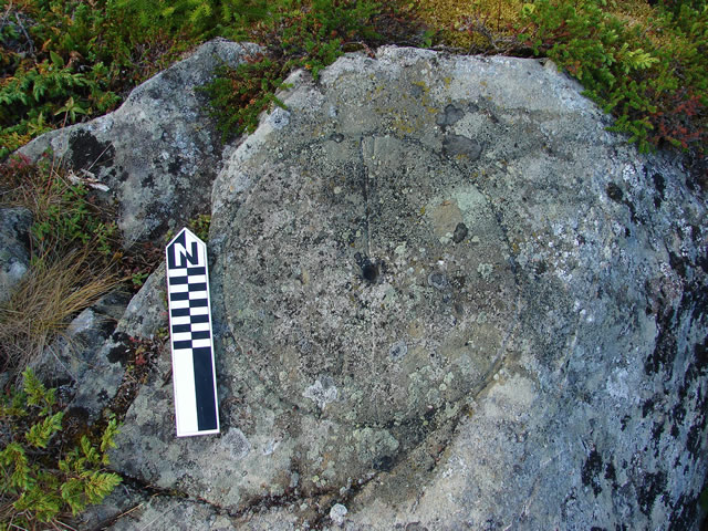 Rock inscription of a simple compass rose, with a line and the letter 'N', perfectly aligned with true north. A hole
at the centre of the circle would have been used with a straight stick to cast a shadow at noon, to find true north.
 Rock inscription: 'J M V 1856'